File:1850 Cowperthwait Map of Cuba and West Indies - Geographicus - WestIndies-m-1850.jpg
Jump to navigation
Jump to search
Size of this preview: 744 × 599 pixels. Other resolutions: 298 × 240 pixels | 596 × 480 pixels | 953 × 768 pixels | 1,271 × 1,024 pixels | 2,542 × 2,048 pixels | 3,500 × 2,820 pixels.
Original file (3,500 × 2,820 pixels, file size: 2.26 MB, MIME type: image/jpeg)
Captions
Captions
Add a one-line explanation of what this file represents
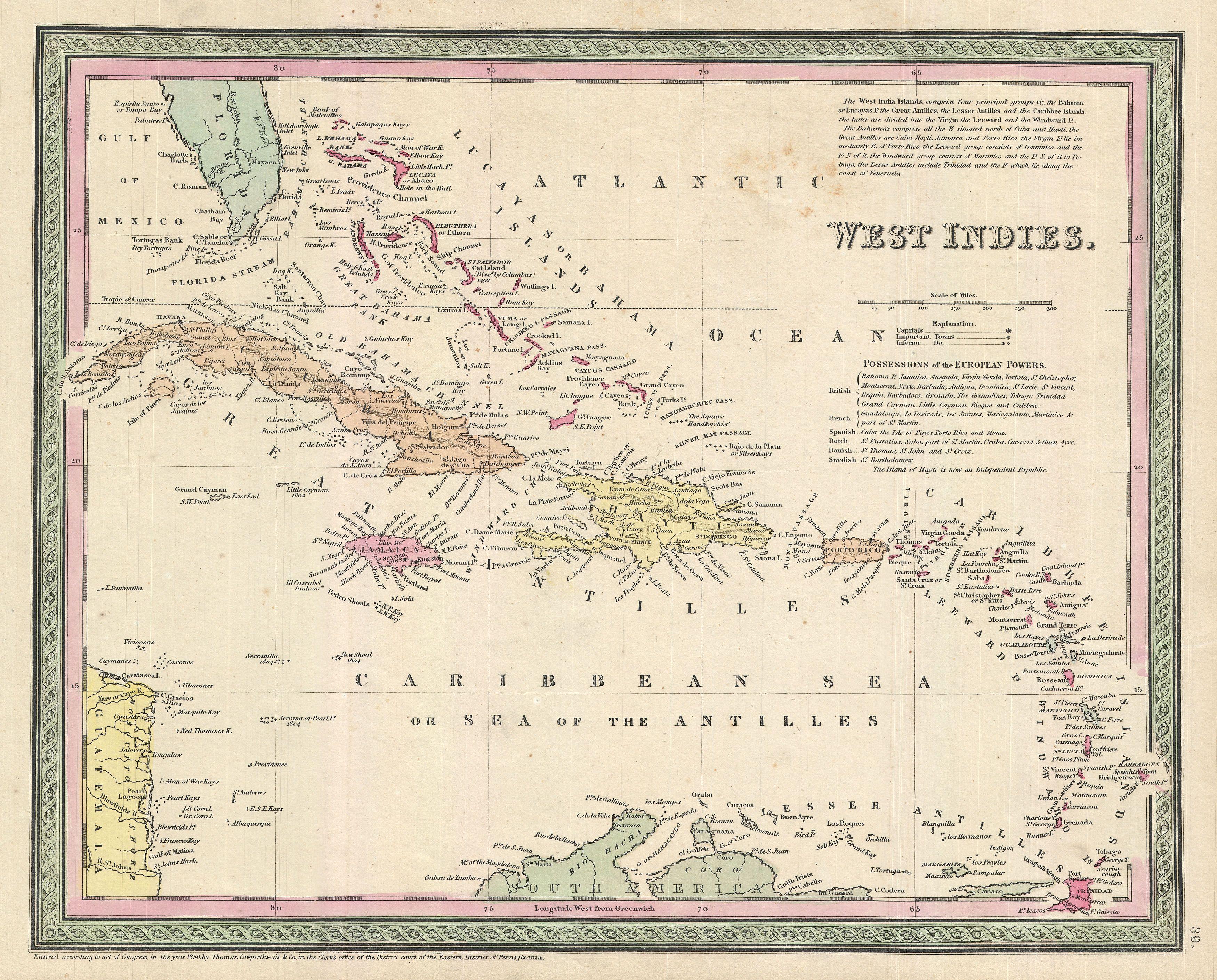
| Samuel Augustus Mitchell: West Indies.
( |
||||||||||||||||||||
|---|---|---|---|---|---|---|---|---|---|---|---|---|---|---|---|---|---|---|---|---|
| Artist |
|
|||||||||||||||||||
| Title |
West Indies. |
|||||||||||||||||||
| Description |
English: This scarce hand colored map is a lithographic engraving of the West Indies dating to 1850 by the legendary American Mapmaker S.A. Mitchell, the elder. Covers from Florida and the Bahamas south through the Caribbean nations of Cuba and Hispaniola (Haiti & the Dominican Republic) to the northern Part of South America and east to the Caribbee Islands or the Lesser Antilles. Includes the Bahamas (Bahama Islands). |
|||||||||||||||||||
| Date | 1850 (dated) | |||||||||||||||||||
| Dimensions | height: 12 in (30.4 cm); width: 15 in (38.1 cm) | |||||||||||||||||||
| Accession number |
Geographicus link: WestIndies-m-1850 |
|||||||||||||||||||
| Source/Photographer |
Mitchell Sr., S. A.,A New Universal Atlas Containing Maps of the various Empires, Kingdoms, States and Republics Of The World. (1850 issue)
|
|||||||||||||||||||
| Permission (Reusing this file) |
|
|||||||||||||||||||
File history
Click on a date/time to view the file as it appeared at that time.
| Date/Time | Thumbnail | Dimensions | User | Comment | |
|---|---|---|---|---|---|
| current | 23:23, 24 March 2011 | | 3,500 × 2,820 (2.26 MB) | BotMultichillT (talk | contribs) | {{subst:User:Multichill/Geographicus |link=http://www.geographicus.com/P/AntiqueMap/WestIndies-m-1850 |product_name=1850 Cowperthwait Map of Cuba and West Indies |map_title=West Indies. |description=This scarce hand colored map is a lithographic engraving |
You cannot overwrite this file.
File usage on Commons
The following page uses this file: